|
Prayer Request List
Updated Weekly
(click to view)

Calendar of Events
(Click to view)

Birthdays &
Anniversaries Calendar
(click to view)

Facilities &
Grounds
Calendar
(Click to view)


|
Directions to Church
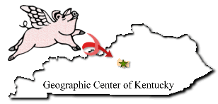
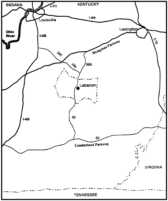
From Lexington, Kentucky:
Take the BLUE GRASS PARKWAY ramp from Versailles Road towards LAWRENCEBURG/ELIZABETHTOWN. Merge onto BLUE GRASS PKWY West and travel approximately 29 miles. Take the KY 555 exit (Number 42) towards SPRINGFIELD. Keep left at the fork in the ramp. Merge onto KY 555 and drive approximately 15 miles. KY 555 becomes KY 55. Travel another 13 miles. Turn right on KY 289. Continue approximately 4 1/2 miles. The Church
(view picture) is on the left. Total Estimated Time: 1 hour, 22 minutes; Total Distance: 61 miles.
From Louisville, Kentucky:
Take I-65 S towards NASHVILLE. Travel approximately 18 miles. Take the KY 245 exit (Number 112) towards CLERMONT/BARDSTOWN. Keep LEFT at the fork in the ramp. Merge onto KY-245 and travel approximately 15 miles. Turn RIGHT onto US 150. Travel approximately 18 miles. At Springfield, turn RIGHT onto KY 55 and travel approximately 13 miles. Turn RIGHT onto KY 289. Continue approximately 4 1/2 miles. The Church
(view picture) is on the left. Total Estimated Time: 1 hour, 40 minutes; Total Distance: 68 miles.
From Bowling Green:
Take I-65 North. Travel approximately 20 miles. Take the Cumberland Parkway Toll Road East Exit (Number 43) towards GLASGOW/SOMERSET. Travel approximately 50 miles. Take the Columbia exit, turning left on onto KY 55. Stay on KY 55 through Columbia and traveling approximately 18 miles to Campbellsville. At Campbellsville, turn RIGHT, continuing on KY 55 approximately two more miles. Turn left on KY 289 and travel approximately 10 miles. This is a scenic route. Please drive slowly and enjoy the ride. The Church
(view picture) is on the right. Total Estimated Time: 2 hours; Total Distance: 98 miles.
|